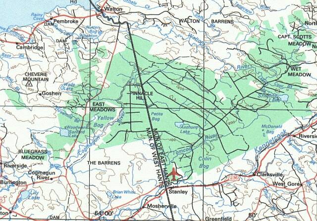
The following are photographs taken during the late summer of
2000 over the area north of Stanley, NS. I fly from Stanley
Airport in a sailplane. These photos were taken from that
sailplane during one day of soaring. The camera was mounted on
the side of the cockpit and pointed to the right where the tip of
the right wing is always visible. Because height is needed to move
any distance in a glider the photographs were taken from 3000-4000 feet.
 |
 |
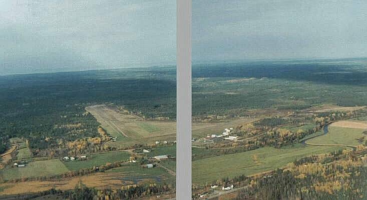
| General View Westward over Stanley Airport to the Avon River
showing the layout of clearcut areas |
Closeup of the Peat Harvesting in MacDonald Bog(?) east of
Stanley. View east from east of Stanley Airport. |
 |
 |
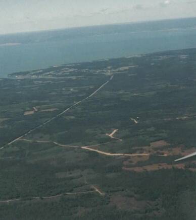
| View to the North to Walton and the Minas Basin. The road from Scotch Village is visible in the foreground.
The clear cuts seen in the foreground seem to be on crown land. |
View South toward the Kennecook River and the agricultural land beyond.
Recent cutover areas on the Barrens are prominent in the foreground. |
 |
 |
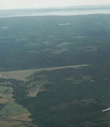
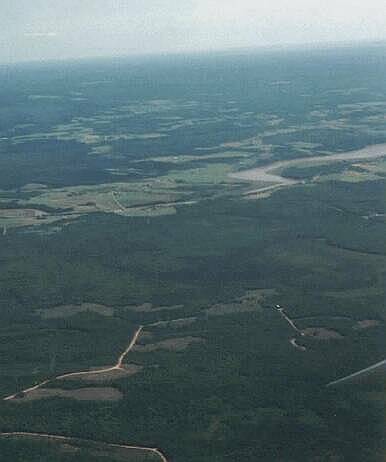
| A view from over the Barrens looking east to past Stanley Airport. The peat extraction facility is visible in the distance. This photo shows the extensive cutting that has taken place in the last year on the Barrens which had not been touched until then. |
From over Stanley Airport, this photographs shows the same clear cuts as the photo to the left but looking West. |
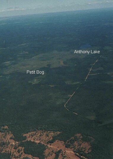
| The photo to the right shows Petit Bog and Anthony lake on Crown Land north of Stanley Airport. Let's hope that this beautiful large bog and natural lake are not damaged by the extraction of peat. A recent clear cut area is in the foreground. This is in the 'Barrens' a block of private forest lands. |
 |